Golden Ears
-
Distance (km)23.0
-
Elevation (m)1,550
-
Avg Duration (hrs)11.0

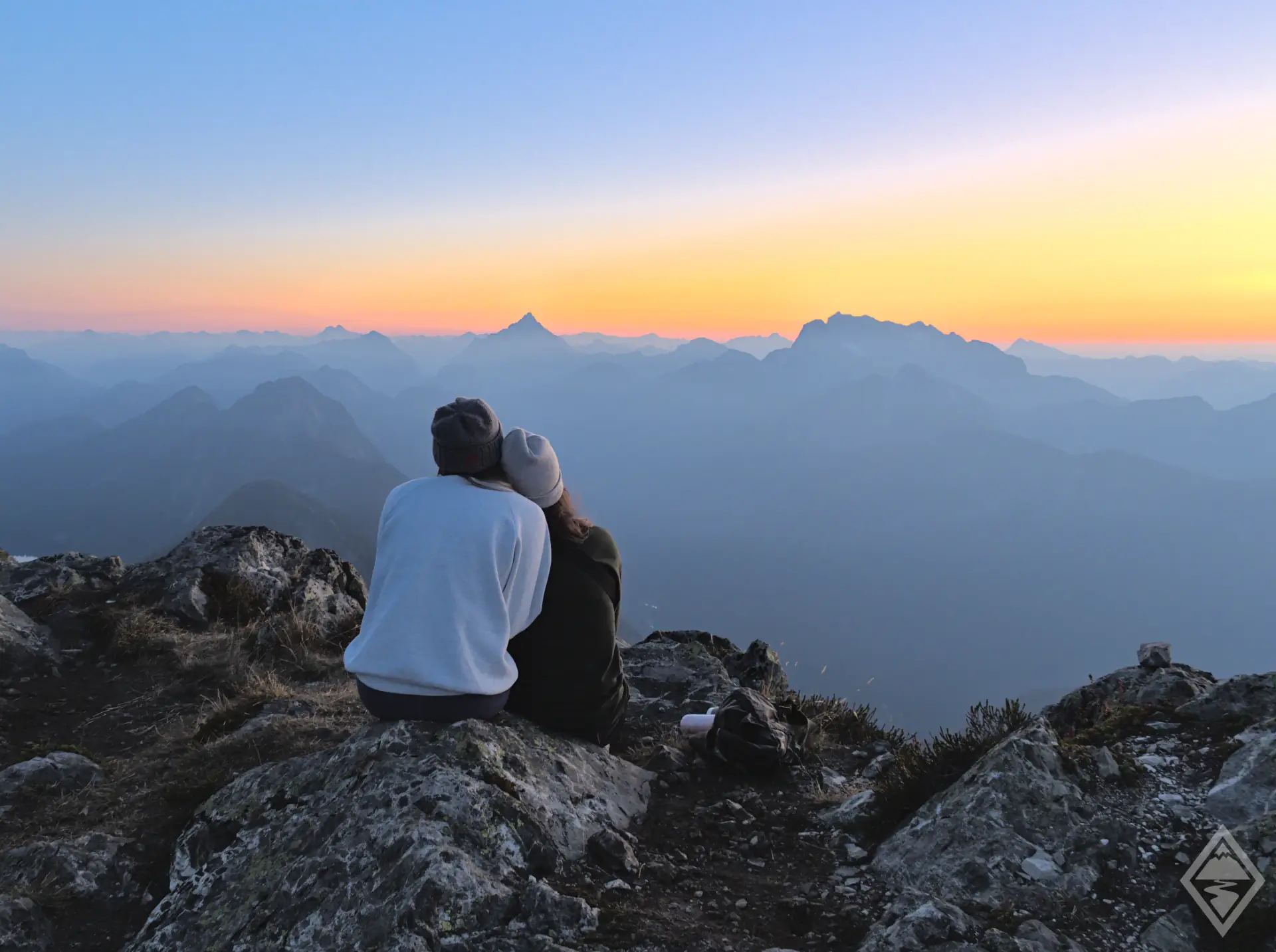
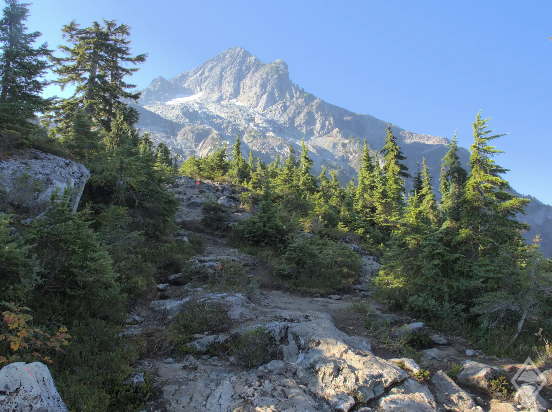
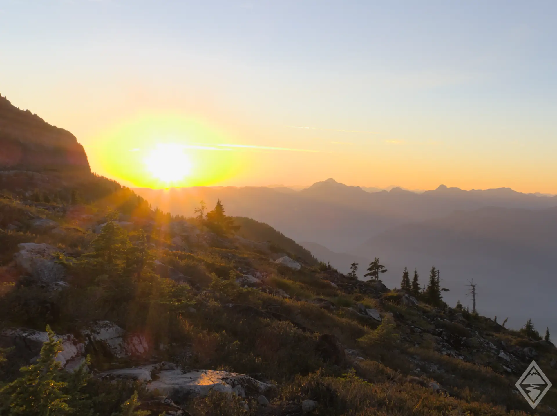
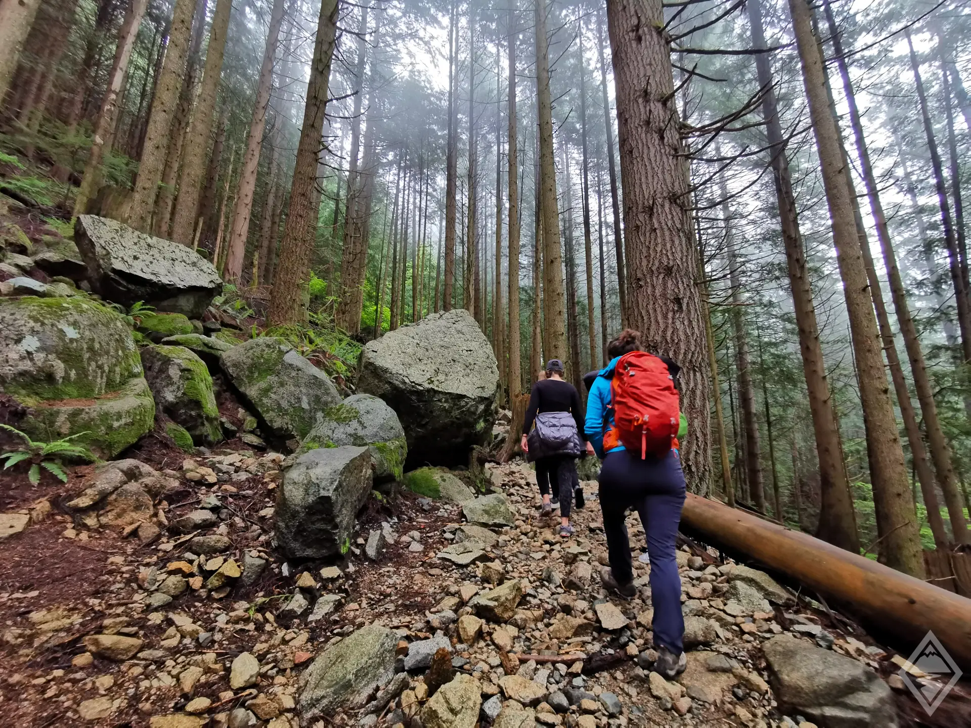
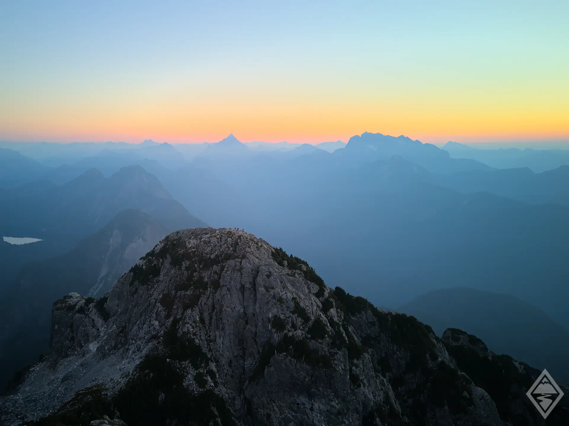
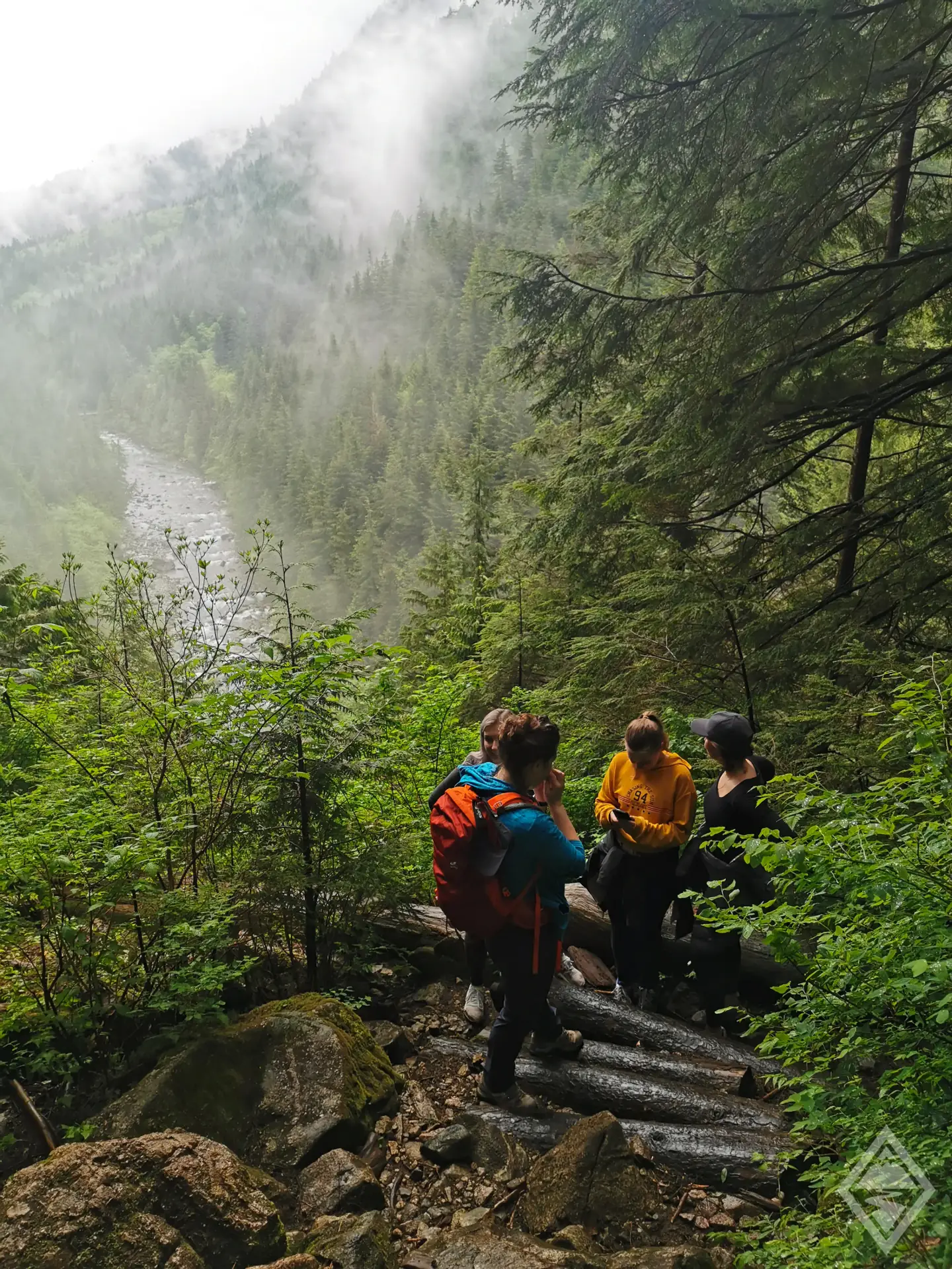
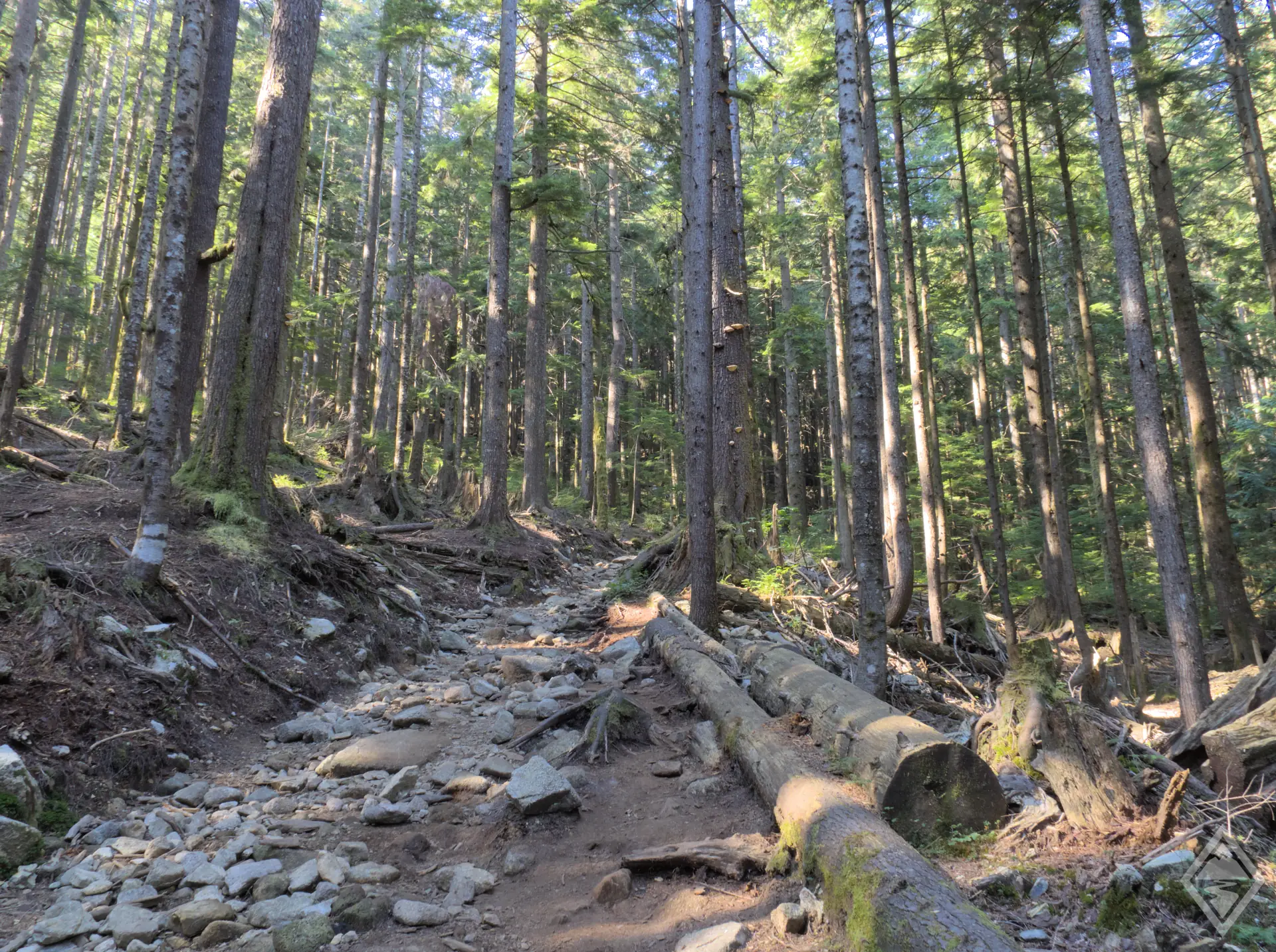
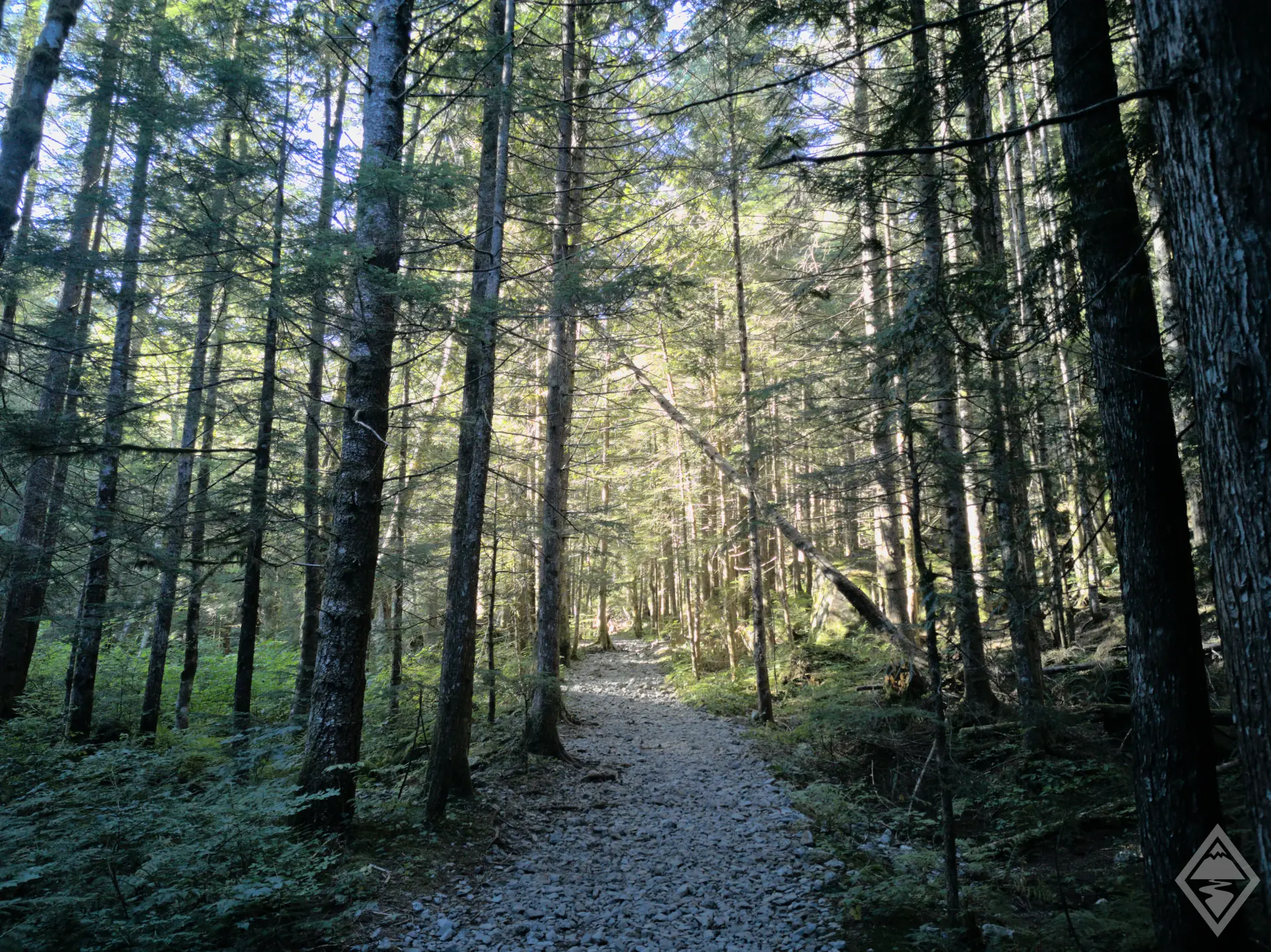
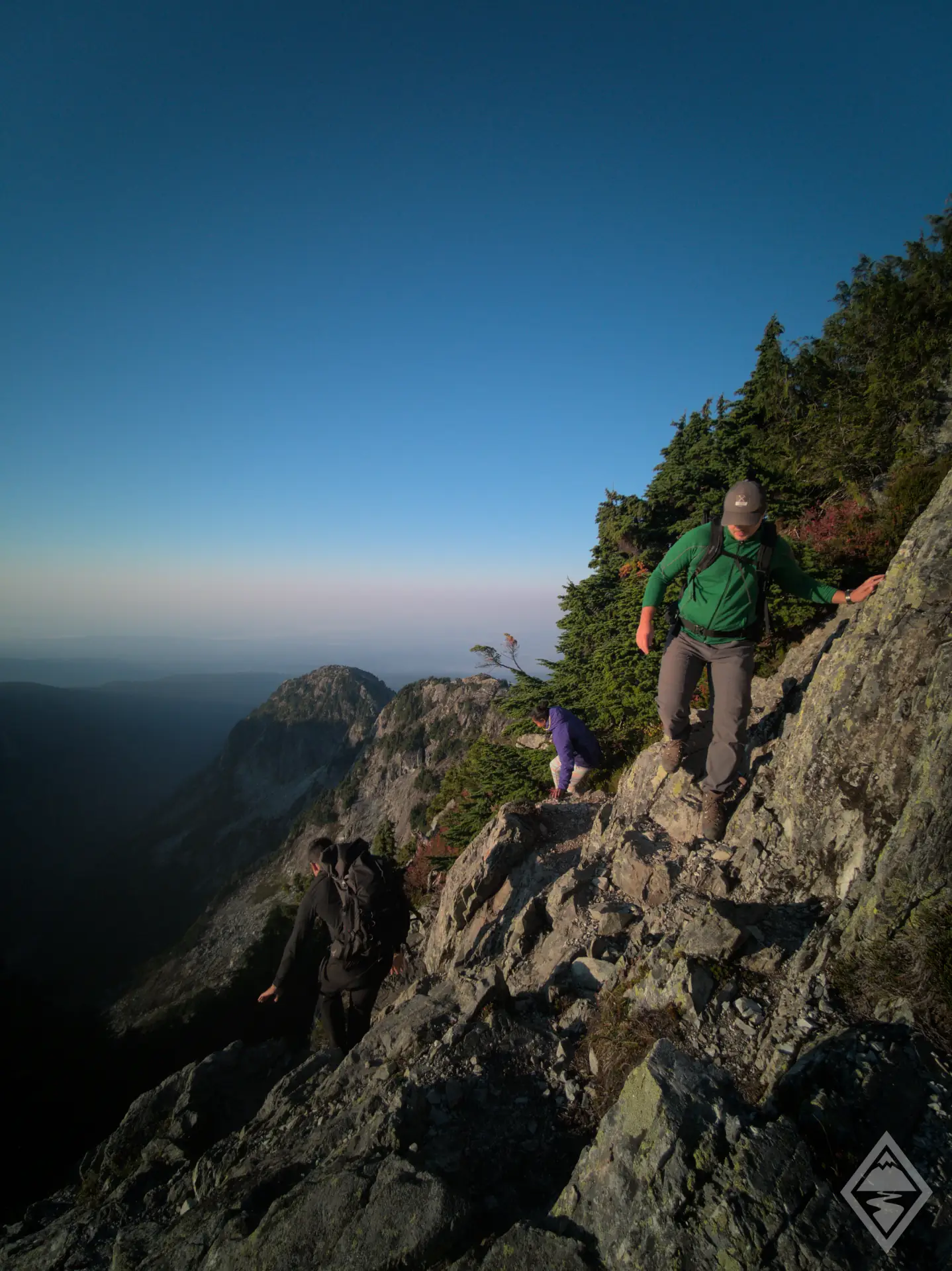
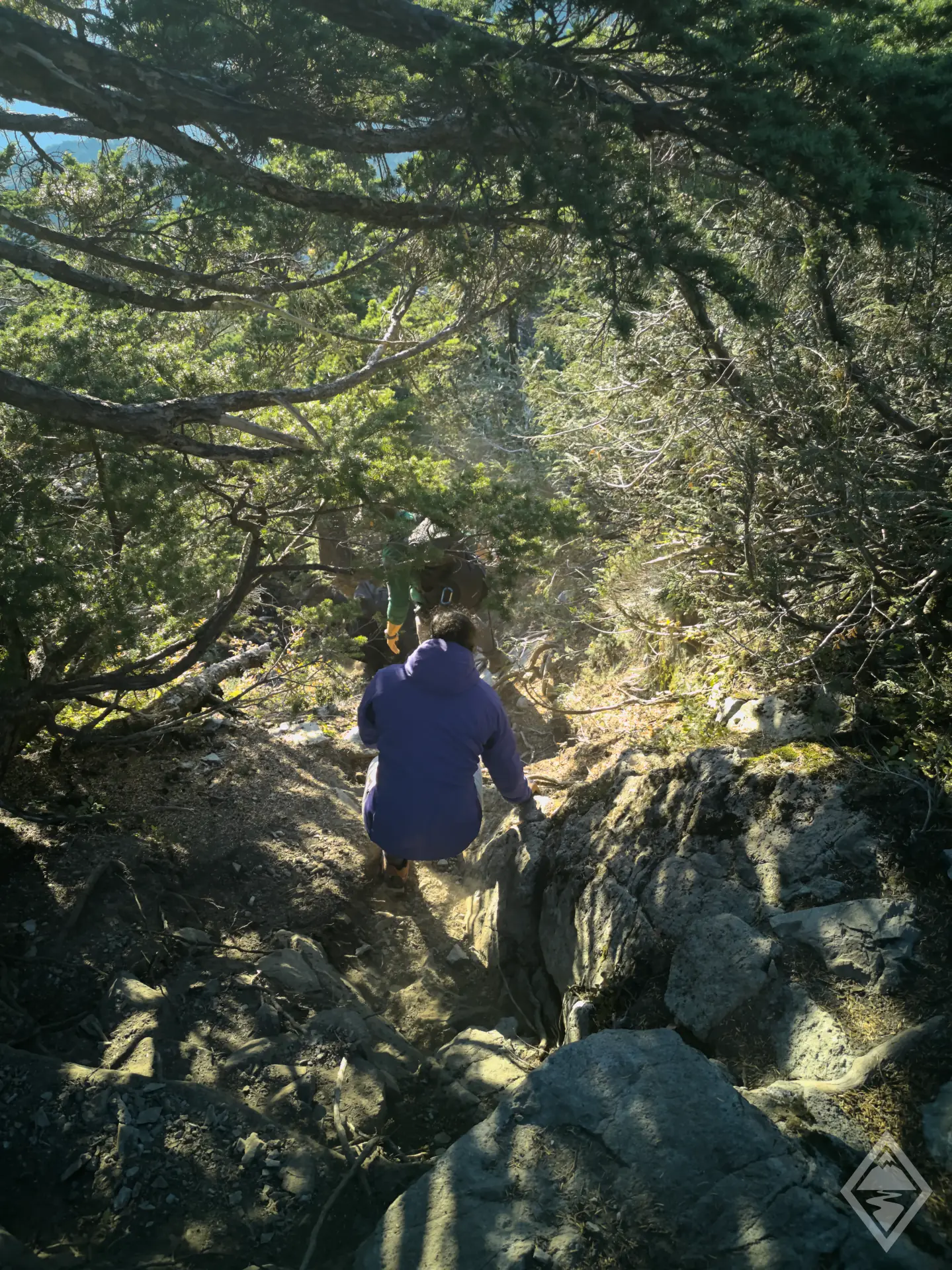
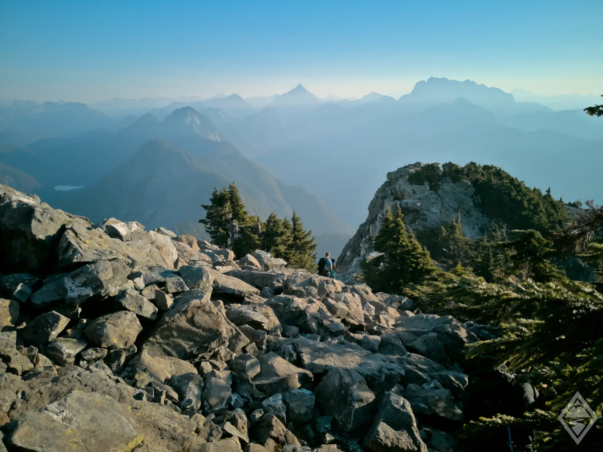
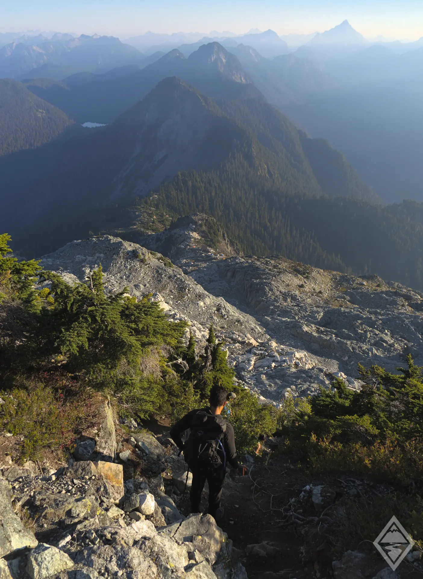
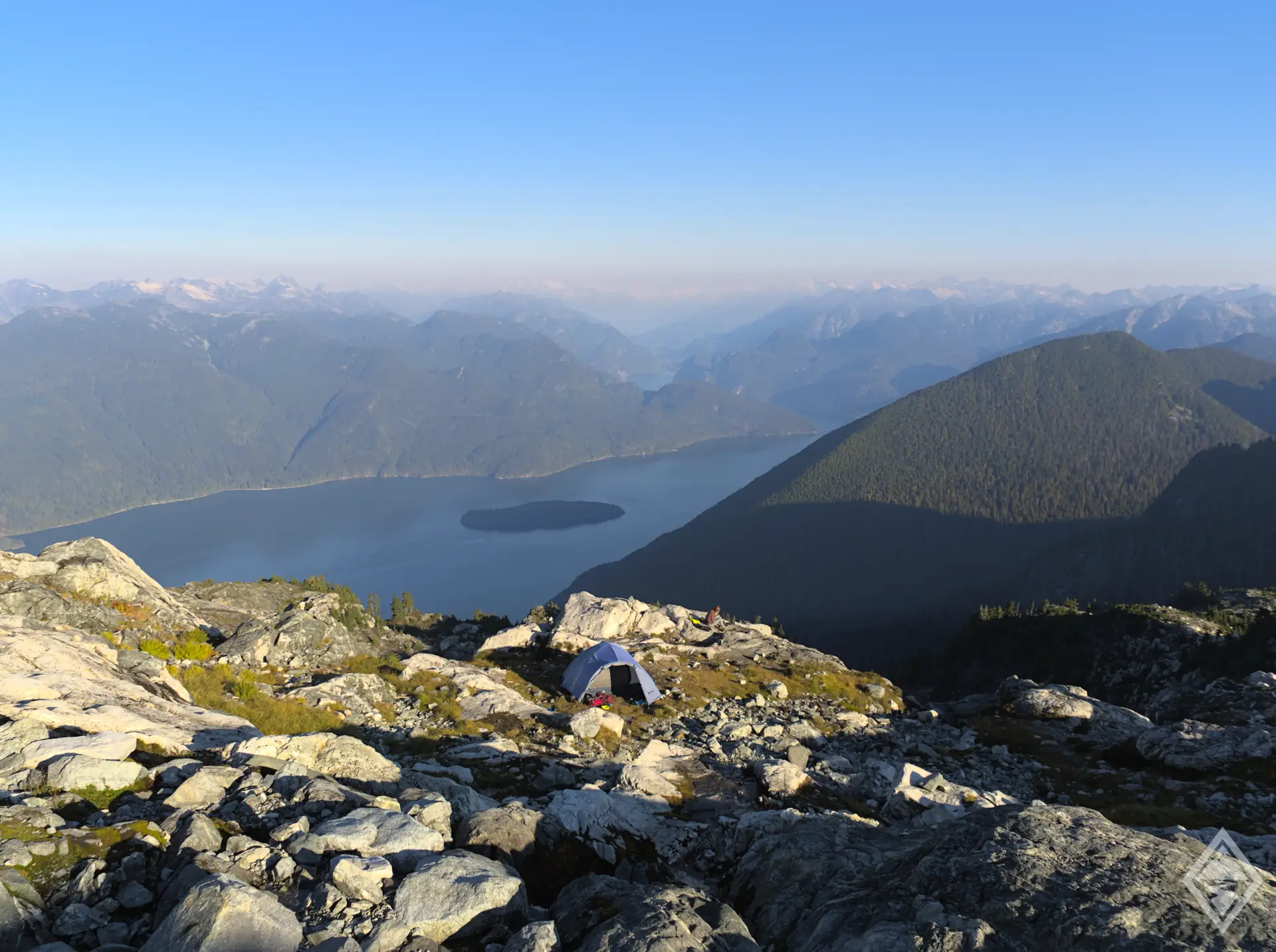
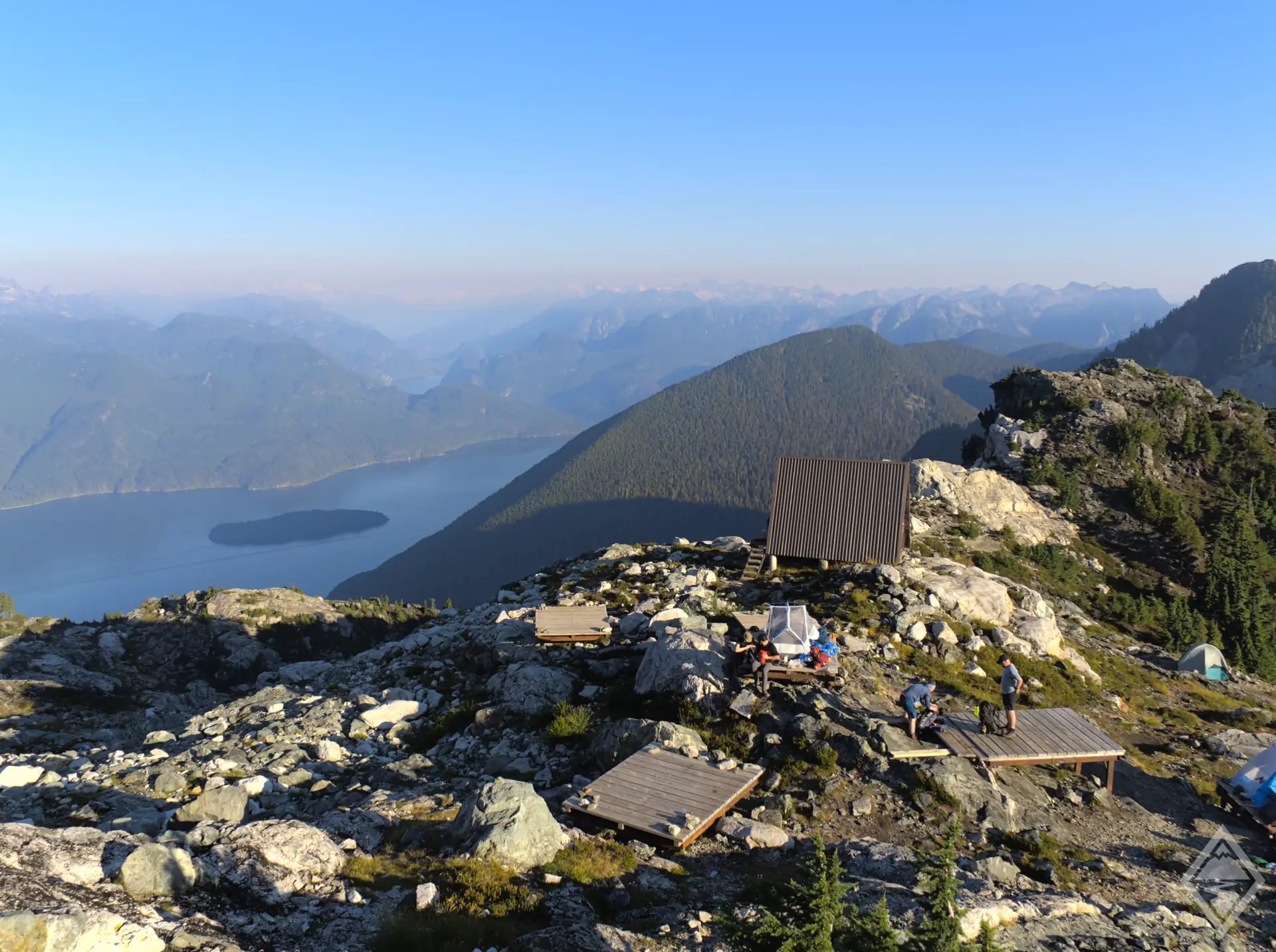
The trail to Golden Ears is breakthtaking and full of variety, a suitable reward for what is truthfully a long and challenging trail. Despite an extended forested section in the middle, there's always something new around the next corner. From rivers and streams, to changes in gradient, a mid-forest campsite at Alder Flats, viewpoints and valleys, ridges, and breaktaking views, there is a bit of everything on the Golden Ears trail. One weekend back in October 2022 I was home alone with no plans. I hadn't solo camped in a while, and Golden Ears had been on my list since coming to Canada, so off I went. I left with plenty of time, and made it to the ridge and campsite with an hour or so to spare before sunset. I got chatting to some other campers and arranged to meet at 4.30am for a 30 minute hike to the summit in time for sunrise. What an incredible place to wake up and watch the sunrise. The trail can roughly be thought of in four sections, the first along the valley floor alongside the river. The second and longest section up through the forests and streams. Then, the open ridge that heads up to the campsite. And finally the scramble to the Golden Ears summit. Golden Ears is certainly possible as a very long day trip, though I'd very much recommend doing it as an overnighter to give yourself the time to enjoy the views. Additionally, the final section to the summit involves some minor scrambling, which although not difficult, is exposed in places. This would not be a good se
The Golden Ears trail is rated as Very Difficult, due to a combination of 22km distance, signfiicant elevation (1600m), as well as long sections of steep, uneven and rooty terrain that really test your leg muscles and knees. In addition, 80% of the elevation gain is squeezed into the second half of the trail, meaning that whilst the first half feels very easy, the second half is steep and relentless. From the West Canyon Parking Lot, the trail follows the valley countours and gains only 200m of
Driving north from Maple Ridge on 232rd Street, you'll see a well-signposted right turn onto 132nd Avenue and into Golden Ears Park. After only 500m or so you'll bear right where the road name turns into Fern Crescent, which itself later turns into Golden Ears Parkway. The road is accessible for any vehicle, all the way to the parking lots. However, do not bank on downloading your trail map as you approach the parking lot. There is only very patchy mobile signal once you leave Maple Ridge. Some of the parking lots closer to the big trails fill up early in the day. If you're planning a big day
Reach out with your questions!
Subscribe to download this content!

Evo is a car share program which operates in both Vancouver and Victoria. They help reduce car ownership and encourage car sharing. Whether you live in BC or are visiting from abroad, Evo is a great way to get around with minimal fuss. Their cars are even equipped with bike and ski racks if you’re heading to the mountains!
The below promo code will give you $25 free driving credit and earn me a small referral fee to help me maintain this website.
Add Review