High Falls Creek
-
Distance (km)8.2
-
Elevation (m)600
-
Avg Duration (hrs)4.5
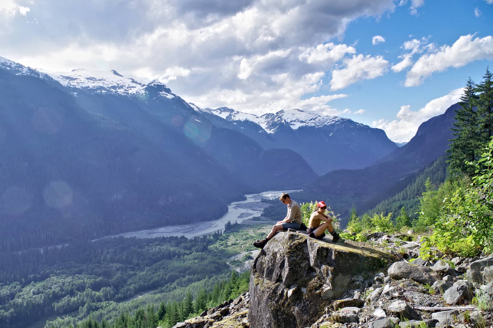
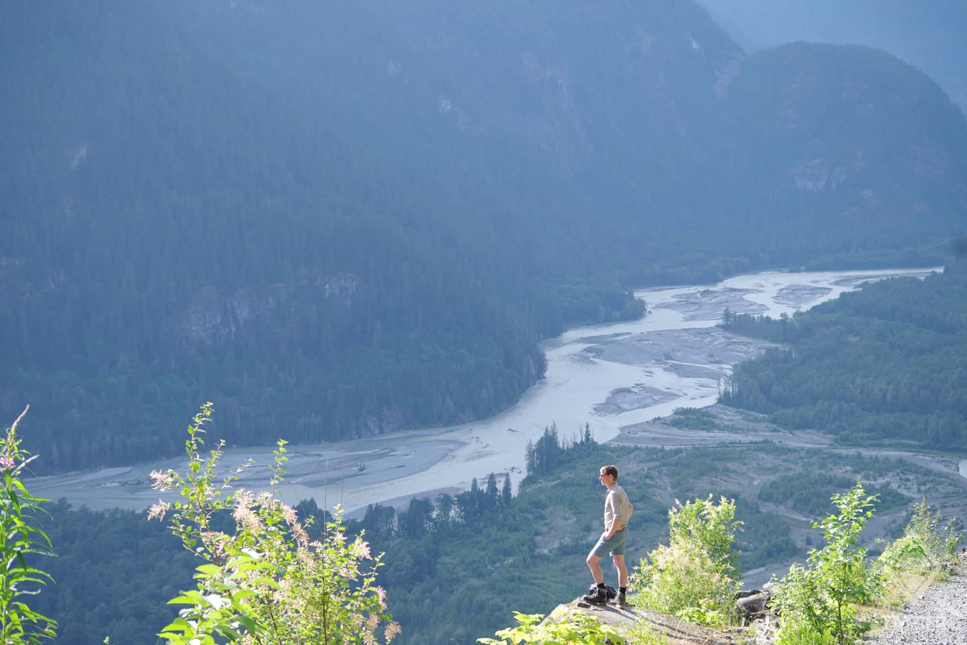
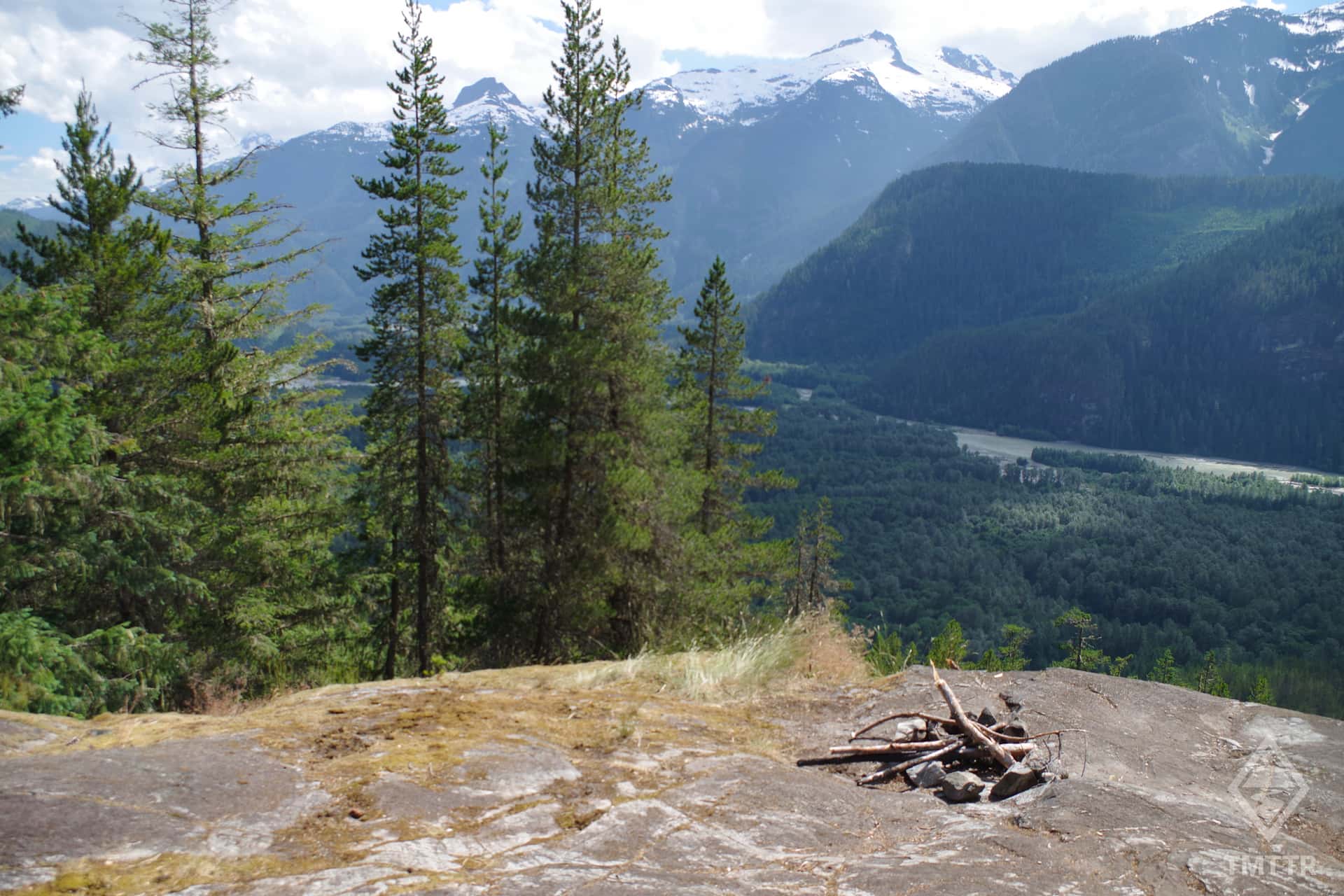
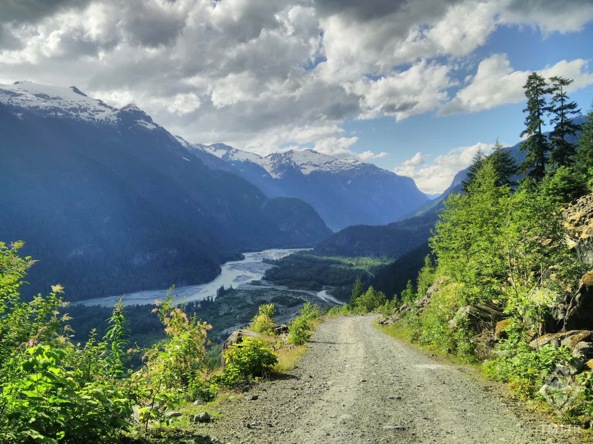
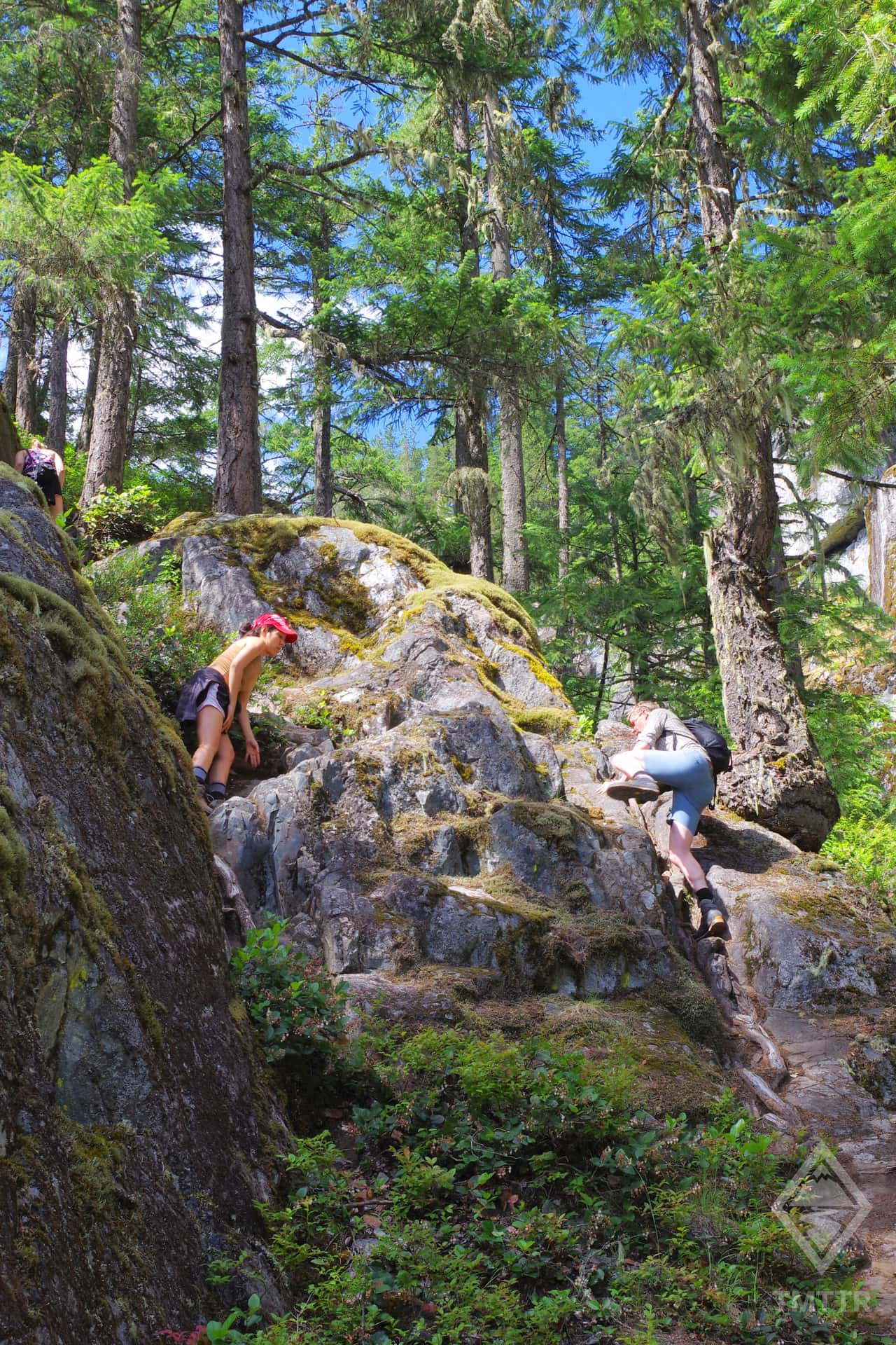
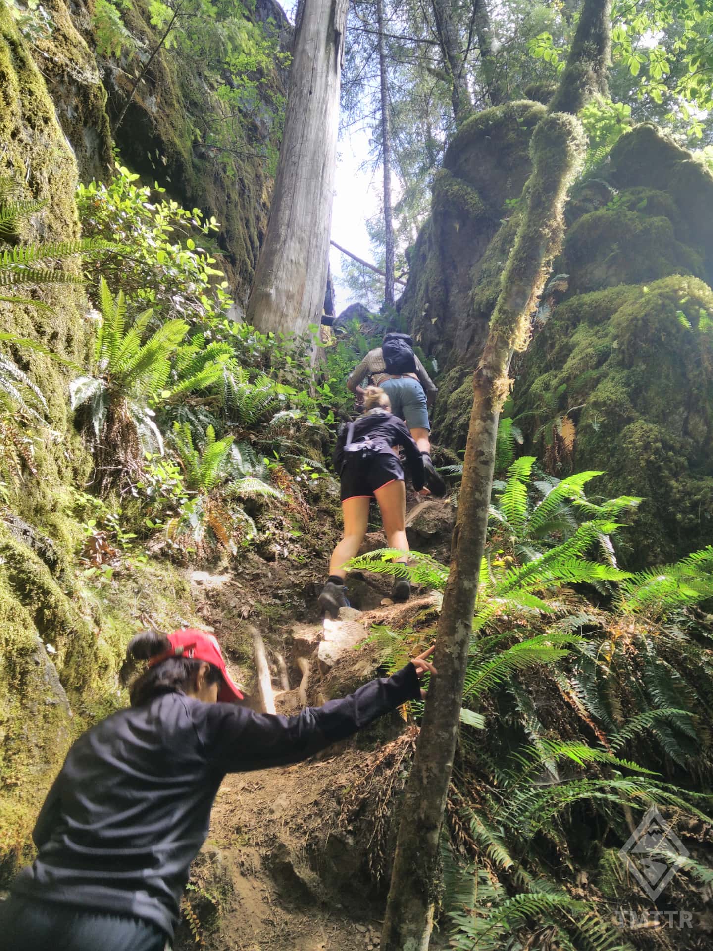
The hike involves some light scrambling with moderate exposure. Whilst you can try to stick to the less exposed side, the big drop to the creek below can be intimidating, especially for inexperienced scramblers. As the name suggests you’ll be following a steep creek and eventually reach an impressive waterfall. Beyond that you’ll be walking through dense forest along a mostly well-marked path. The top section is a little less clearly marked and you have two choices. Either you follow the mapped route and take a left through the forest, or you continue straight. Either way, you'll eventually reach the exit road to the north. The walk down is entirely along a more rugged FSR, and will pass an amazing viewpoint looking over the Squamish Valley. The viewpoint isn’t far from the bottom so if you happen to be driving near here and not doing the hike, is still reachable with a roundtrip 40 min walk from the bottom. The hike is best done in warm, dry weather, as it can become exceptionally slippery in wet weather.
The hike involves some light scrambling with moderate exposure. Whilst you can try to stick to the less exposed side, the big drop to the creek below can be intimidating, especially for inexperienced scramblers. As the name suggests you’ll be following a steep creek and eventually reach an impressive waterfall. Beyond that you’ll be walking through dense forest along a mostly well marked path. The top section is a little less clearly marked and you have two choices. Either you follow the mapped
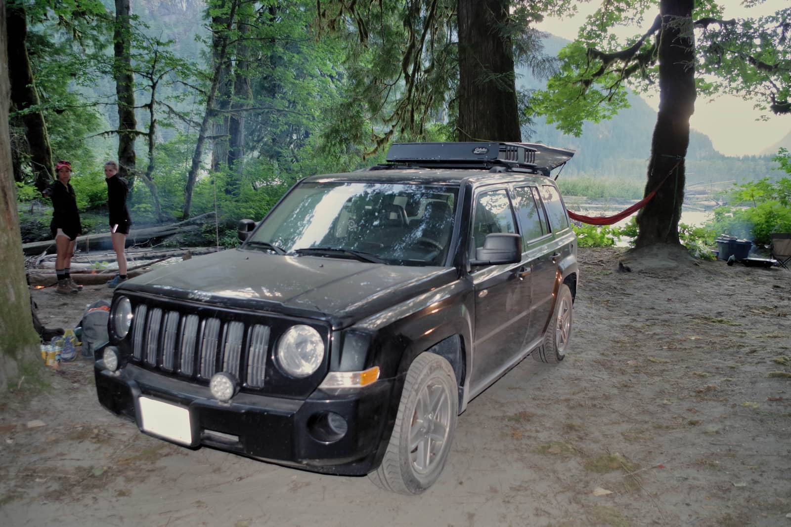
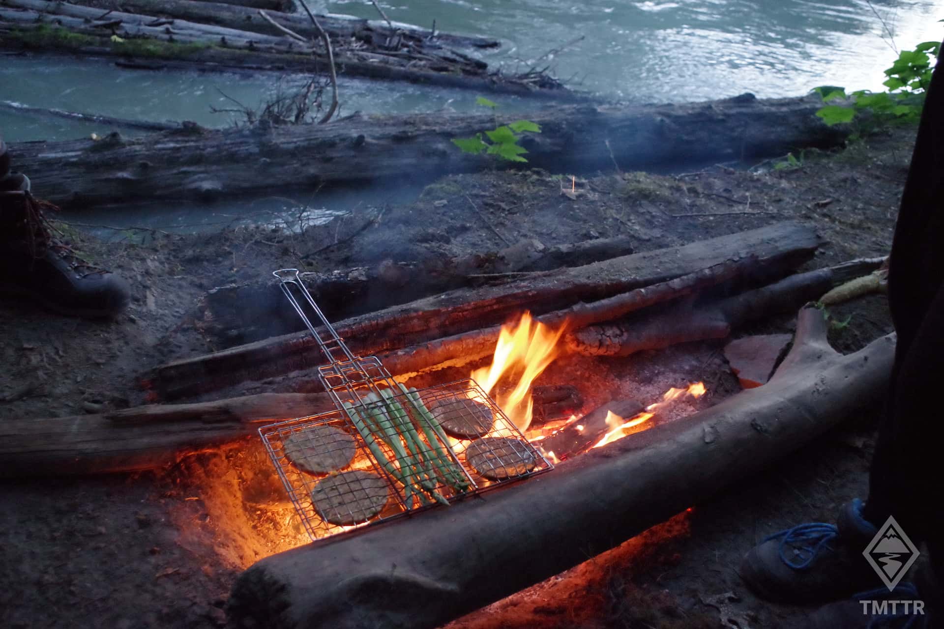
The campsite listed for this trail isn't technically on the route, but is located only 500m further on the FSR and even shares the same name as the trail. Hike Falls Creek Camping is a user maintained rec site with no facilities. The site is simply a clearing in the forest, with nice views and access to the river. Access may be difficult for regular cars. You'll find a more complete description on this adventure about the Squamish River FSR.
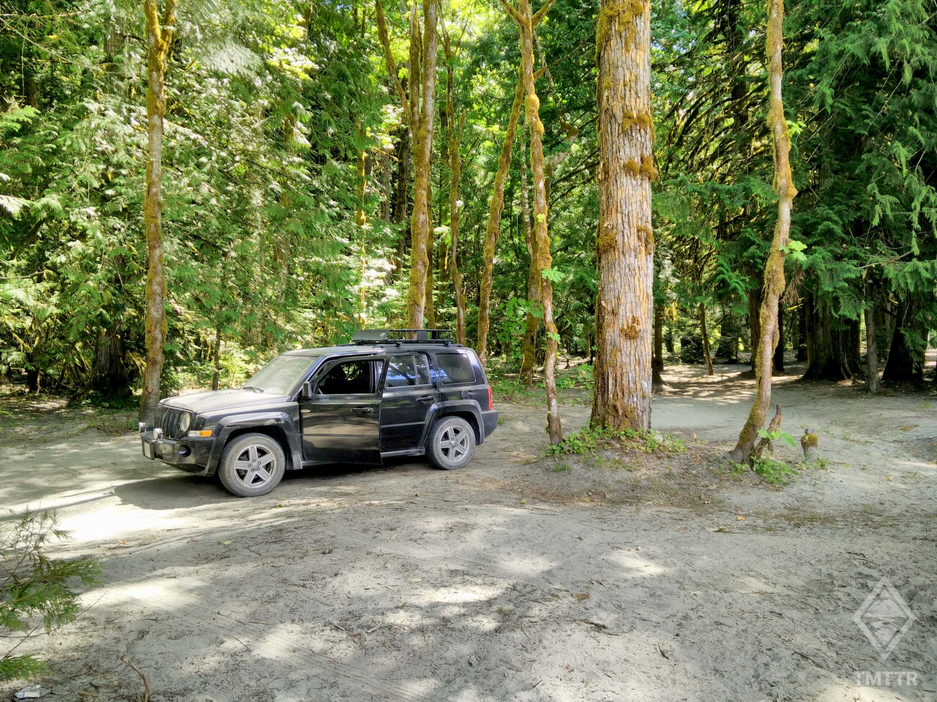
The High Falls Creek trailhead is at kilometer 3.6 of the FSR, or roughly 36km from Squamish. Just before you reach the trailhead, you'll pass a power station, followed shortly by a wooden bridge. The trailhead begins on the right hand side, just after the bridge and is marked by the brightly coloured trail marker tape in the trees. Park up on the left hand side before or after the bridge.
Reach out with your questions!
Subscribe to download this content!

Evo is a car share program which operates in both Vancouver and Victoria. They help reduce car ownership and encourage car sharing. Whether you live in BC or are visiting from abroad, Evo is a great way to get around with minimal fuss. Their cars are even equipped with bike and ski racks if you’re heading to the mountains!
The below promo code will give you $25 free driving credit and earn me a small referral fee to help me maintain this website.
Add Review