Route Details
- Distance: 112km
- Duration: 4hrs
- Route Type: Out & Back
- Camping Possible: Yes
- % Unpaved: 50
- Vehicle: HC / 4x4 Recommended
Summary
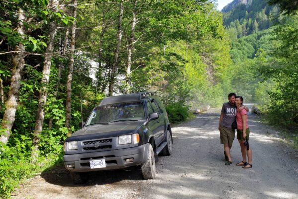
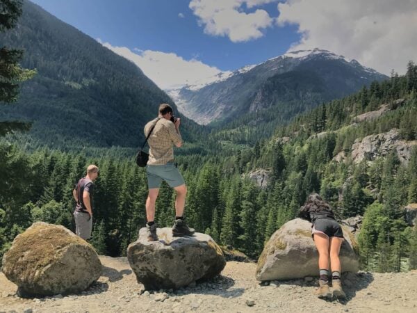
Clear Creek FSR is mainly known for the Clear Creek Hot Springs, which are a small but fun series of hot-tubs fed by a natural hot spring. To reach the springs is a reasonably easy but long drive along the Harrison East and Clear Creek Forest Service Roads, the latter of which requires a medium clearance 4×4. A trip to Clear Creek Hot Springs is as much about the journey as it is about the hot springs themselves. Whilst the Hot Springs are the main objective, they’re not spectacular – but they are a nice treat at the end of a fun drive in the mountains. The hot springs are small, but hot, and are flanked by an ice-cold snow-melt stream. Running between the two makes for a refreshing wilderness dip! The hot springs have a small shelter where you can change, as well as two main hot tubs. At the time of writing, there is an additional, much larger tub which clearly shows past ambition to build this out into a bigger feature. I’m not sure if anyone intends to finish it any longer. Should y
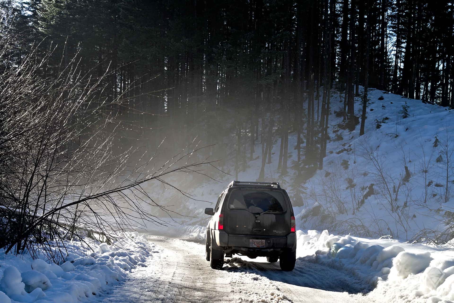
Road Conditions
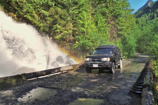
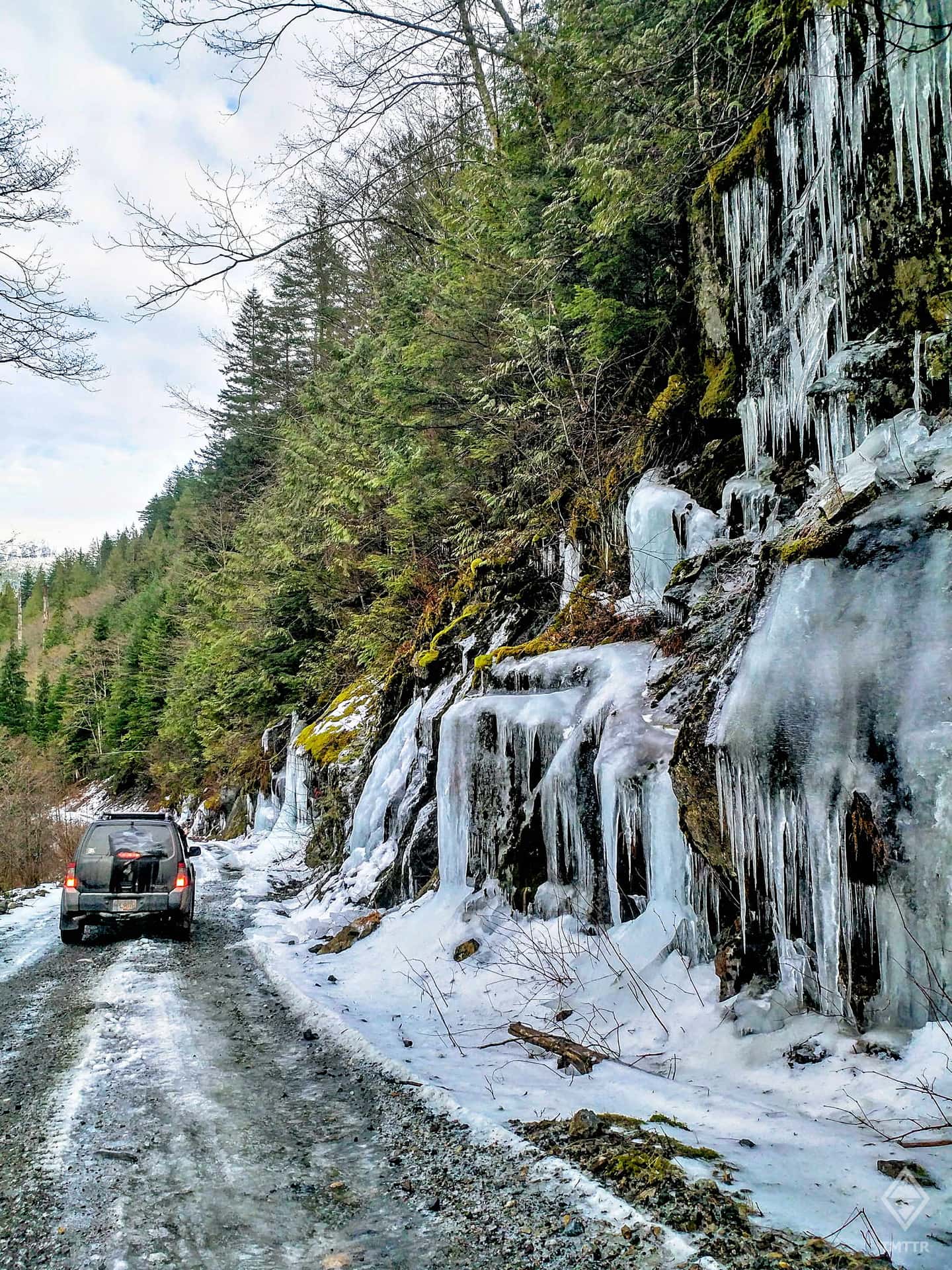
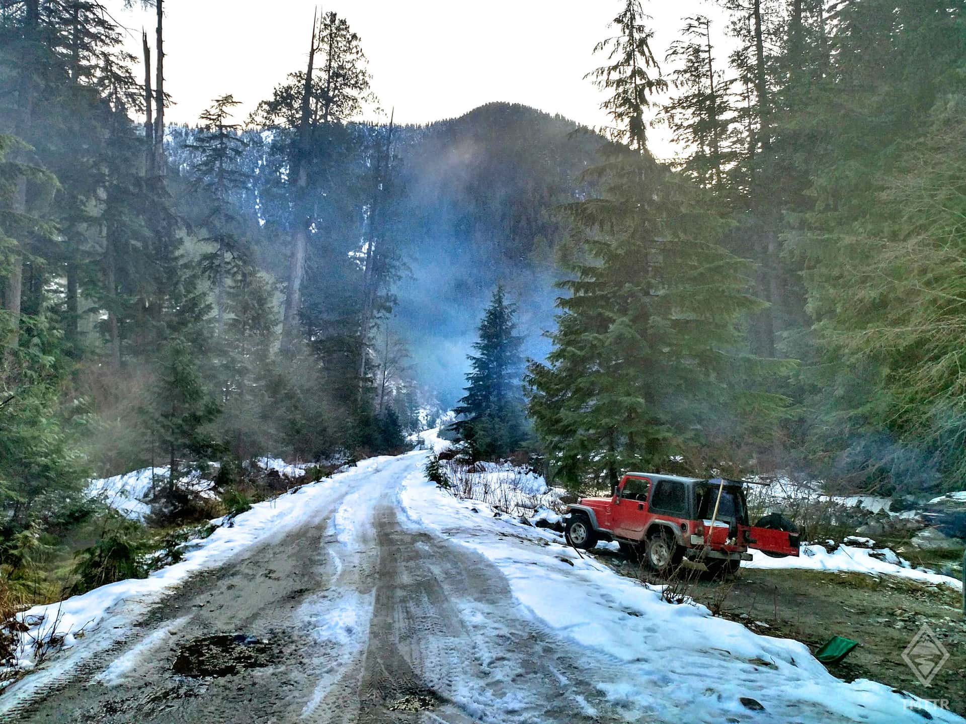
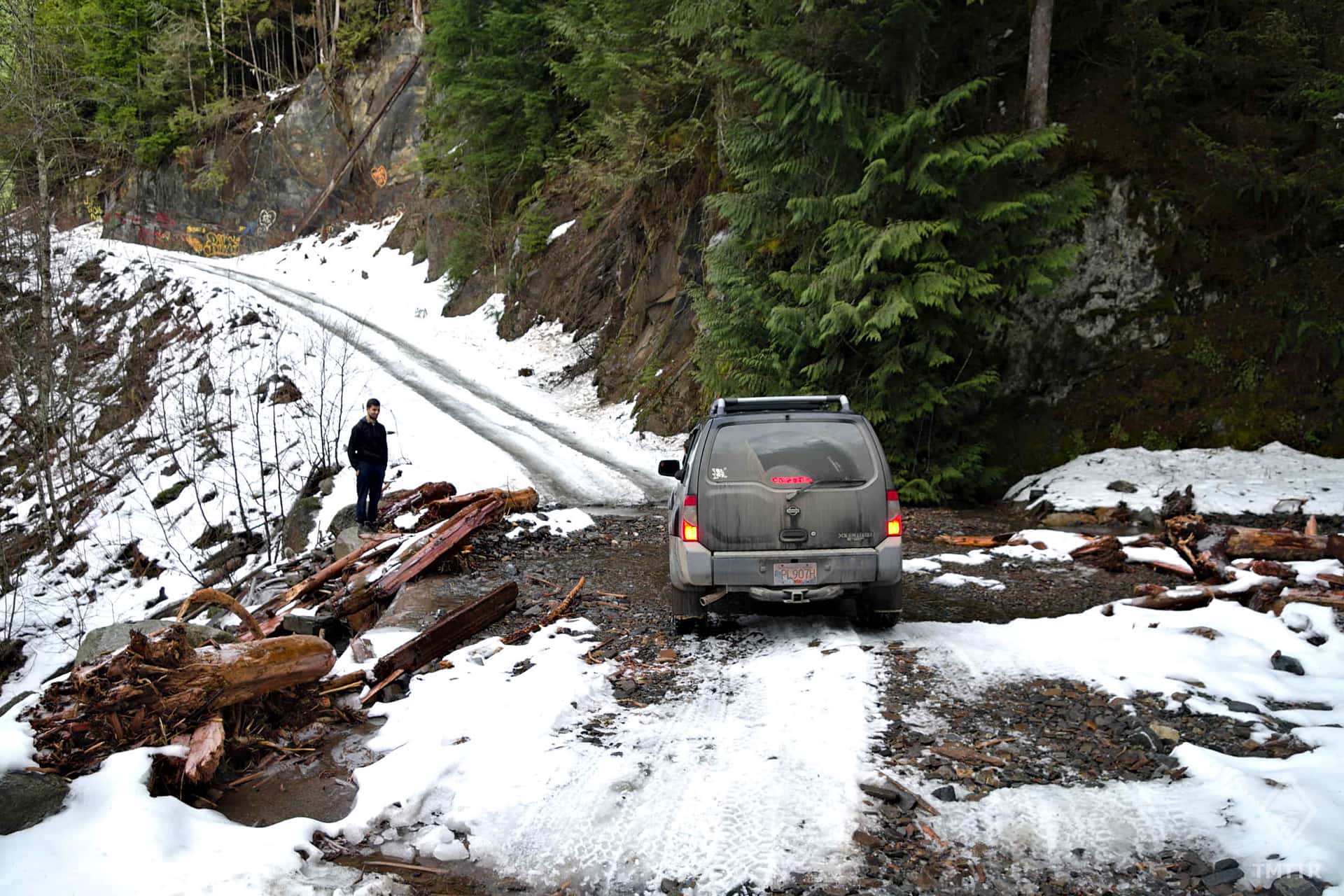
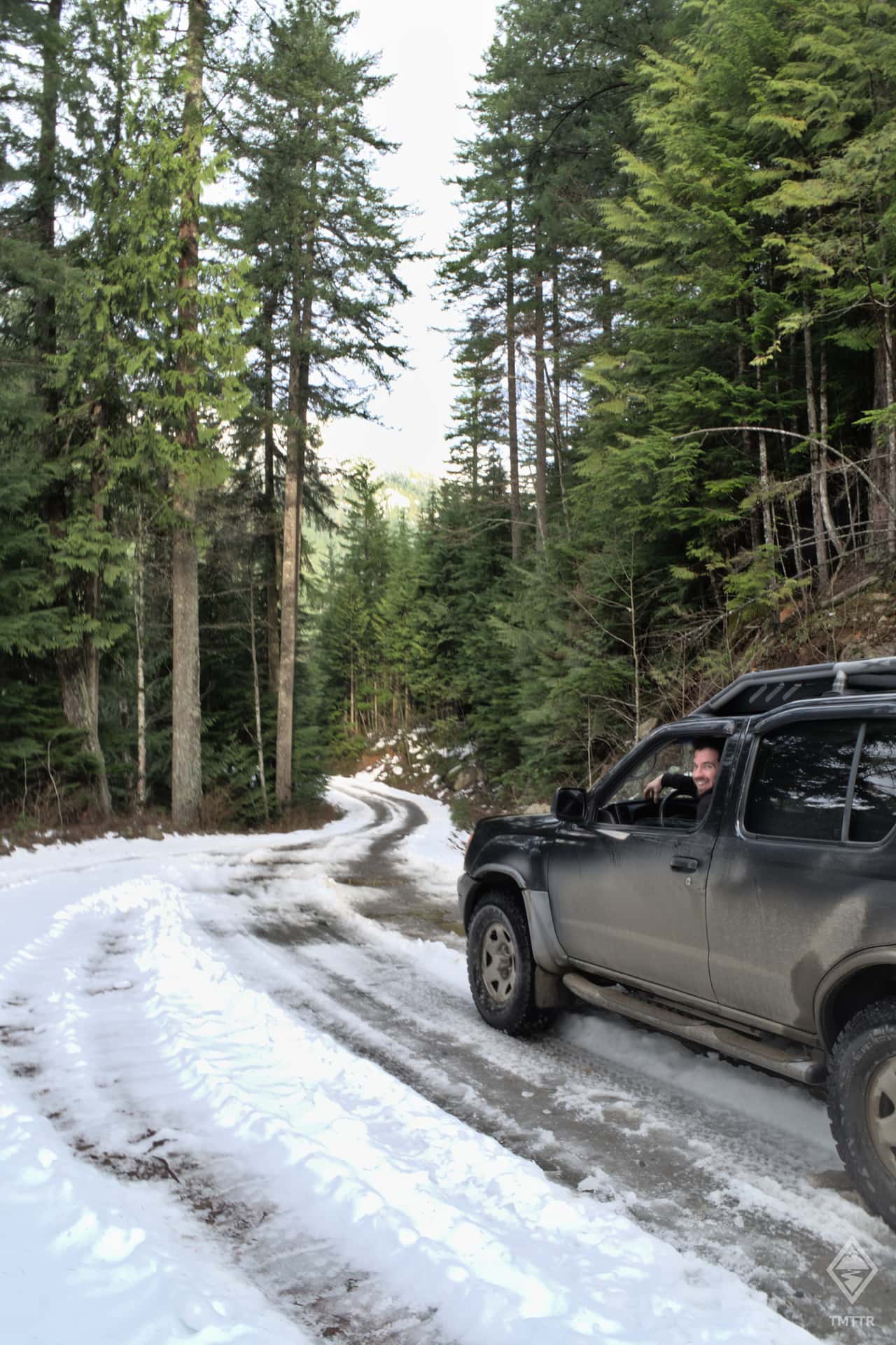
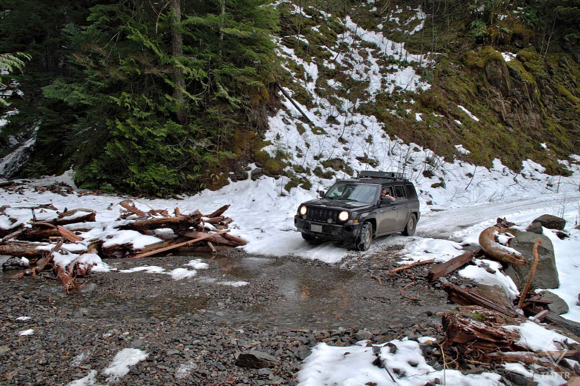
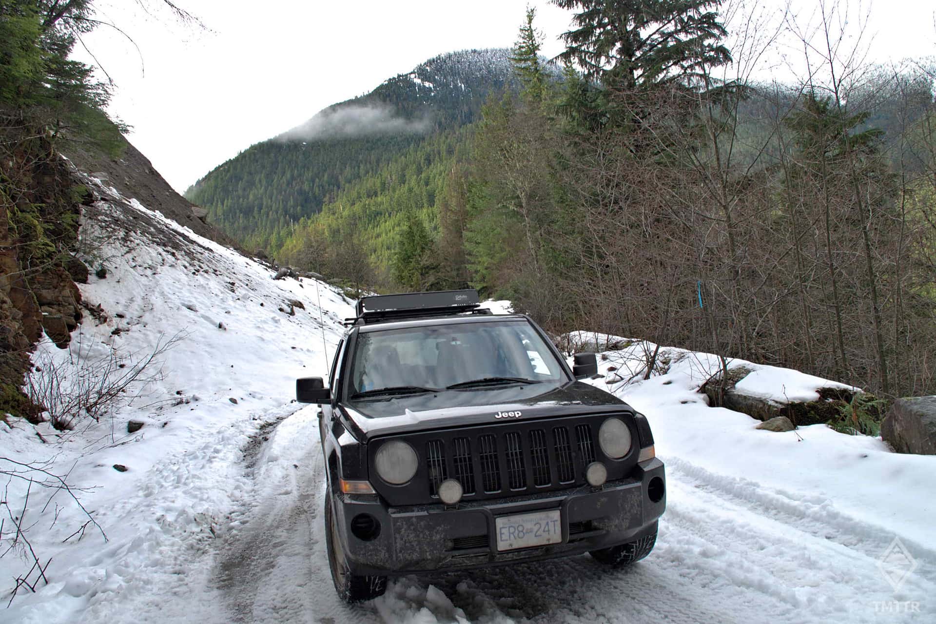
This trip requires a medium clearance 4×4. In addition, you should have capable tires and snow chains if you plan to go in any kind of winter conditions. The Clear Creek FSR is easy to navigate with relatively few water bars. The road surface is generally good, but with some larger, but avoidable rocks in places. Three challenges you may face and should be prepared for: There is one relatively steep section. You’ll need good tires or potentially snow chains if you go in winter. One section, in p
Top Tip
Offline Maps & Map Books
Forest Service Roads can almost guarantee zero phone signal. You should have an offline electronic map available at the very least, and I highly recommend taking a paper map as a backup.
You can use Google Maps to download the relevant area, though other mapping apps like Gaia GPS are better for adventure-type activities. You can download a GPX route for Clear Creek Hot Springs here.
This is the paper map I like to have in my car for this trip. This particular map covers everything you’ll need to venture into the backcountry in the Harrison Lake area. BRMB map books have a ridiculous amount of detail showing back-country roads, hot-springs, trailheads, waterfalls etc all around BC.
Whether you use this map or an electronic one, make sure you have some way of accessing a map without phone signal. Test your phone in airplane mode to see what happens when you have no signal.
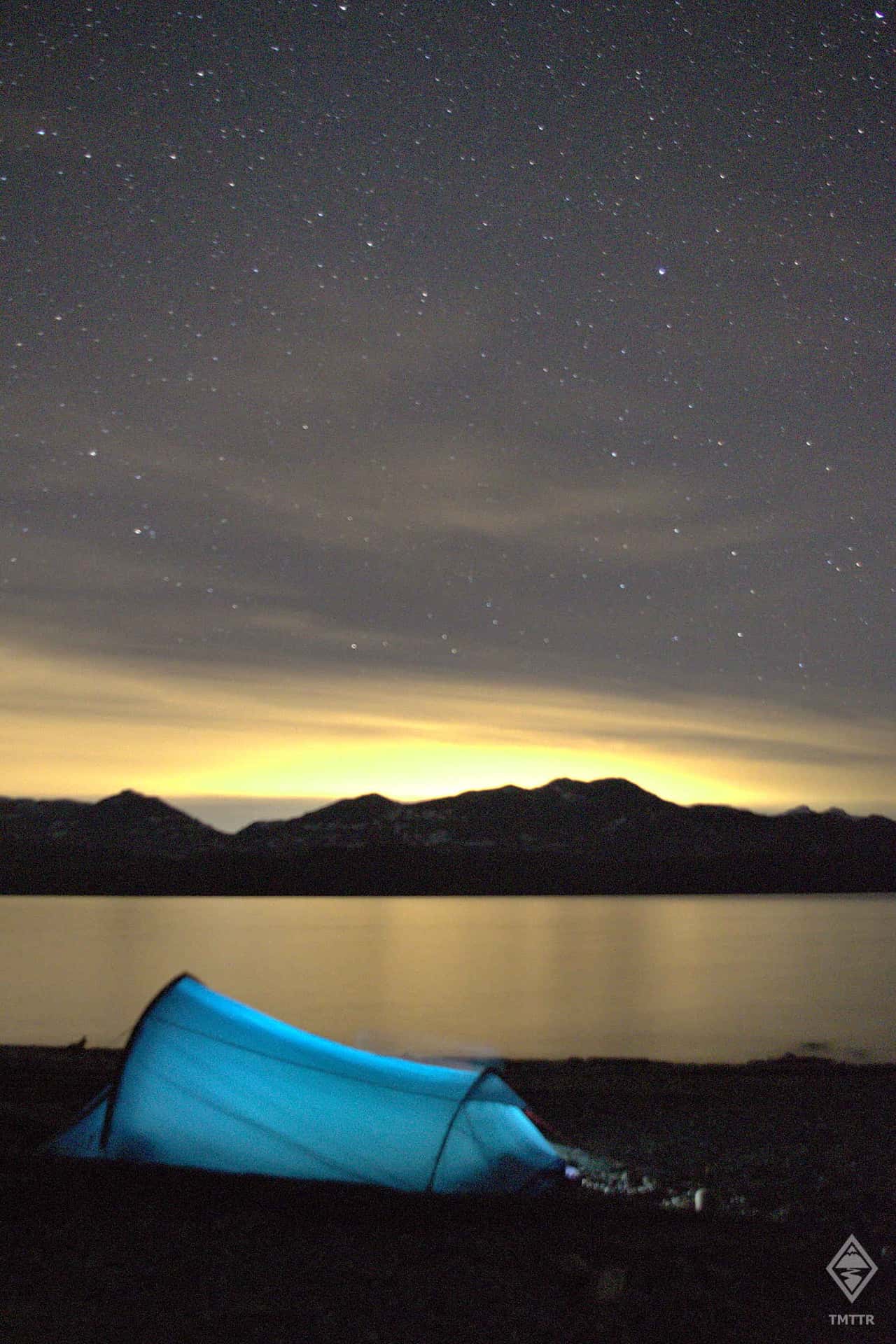
Camping
-
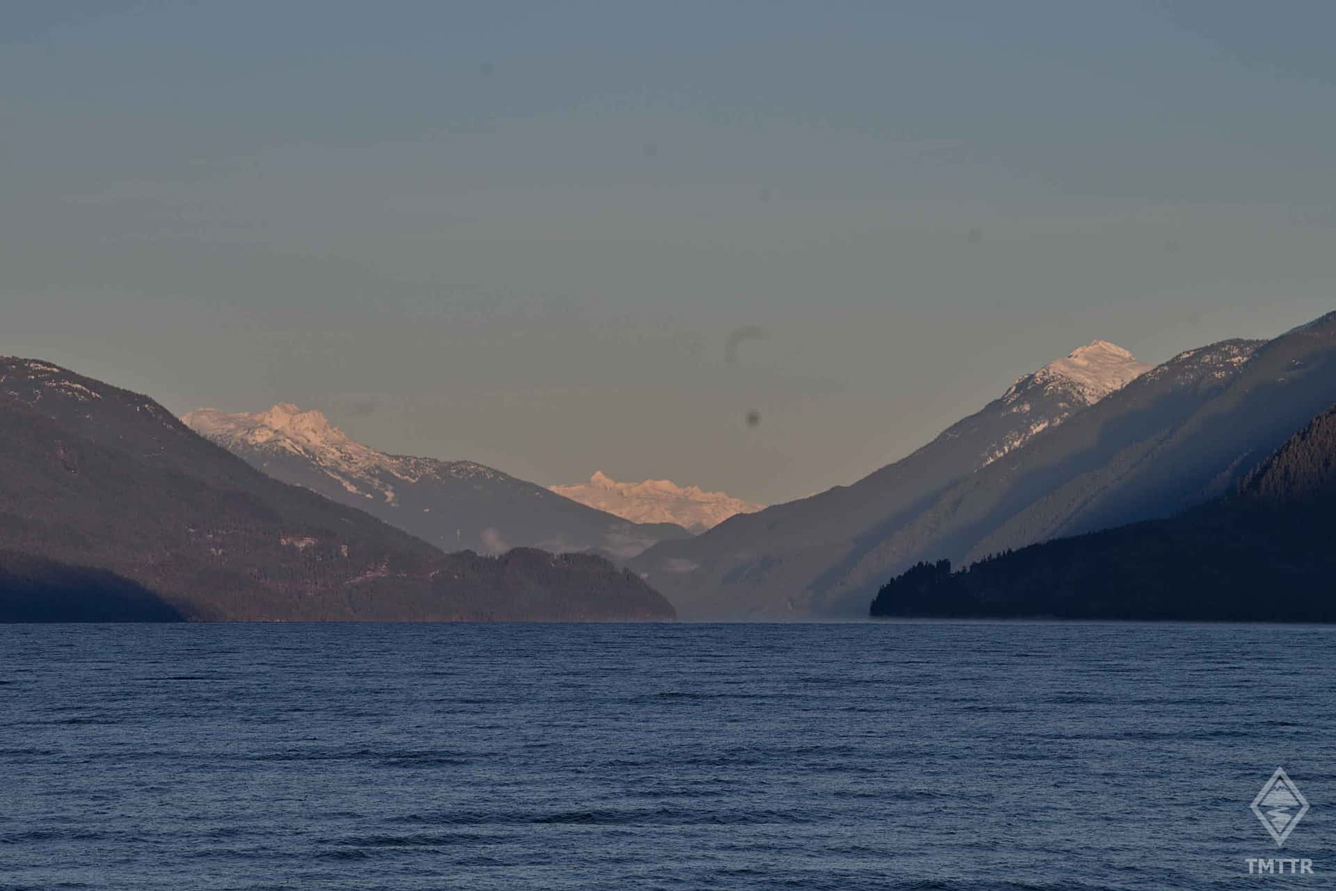
The eastern shore of Harrison Lake provides many options for camping. Most of the campgrounds are on gravel beaches and offer first-come first-served, cash-only reservations.
The first time I did this trip was very early in the season (Feb) and we were the only campers around. I’m told the crowds are larger in summer. Even so, with the lake being so big, I imagine you’ll always be able to find a spot.
Harrison East Camping
The Harrison East Camping website is about the best resource I’ve found for recreation sites in the area, with clear maps, photos and descriptions of the key campgrounds they offer.Recreational Sites and Trails BC
Another great resource from the BC Ministry of Forests and Natural Resources is the Recreational Sites and Trails BC which will show you every campground, and rec site going. The website provides locations of all the smaller recreation sites that you may not find on the Discover Camping BC site.Generally recreation sites are smaller and offer fewer or no facilities compared with the managed campgrounds of provincial and national parks.
Recommended Season
- Apr - Nov
Location & Access
- Start: 49.29918 ,-121.78461
- Region:Western Fraser Valley
- Fire Region: Coastal Fire Centre
- Vancouver Day Trip: Yes
- Vancouver to Route: 2 hrs
- Vehicle Requirement: HC / 4x4 Recommended
Getting There
-
The Clear Creek Hot Springs are located at the highest point of Clear Creek FSR. The FSR is located on the eastern shore of Harrison Lake. Clear Creek Hot Springs are located approximately 56km north of Harrison Hot Springs town, with the distance being covered almost entirely on Forest Service Roads. A) From the Husky Gas Station in town, drive east along Lillooet Road out of town and up the eastern shore of Harrison Lake. B) When you reach a major fork continue following the lake by taking Harrison East Forest Service Road. C) After the FSR bears away from the lakeside, take the second junct
-
If appropriate for the route, rent a car, or better still, reduce the demand for cars with Evo Car Share, Vancouver's car sharing network.

You May Also Be Interested In
Squamish River FSR
Softroading
Out & Back
100km
Min 1day(s)

Add Review